Best places to hike in Bella Vista

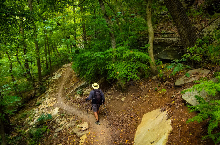
Bella Vista, Arkansas, offers short walks beside creeks, woodland trails beneath limestone bluffs, and longer hikes through the Ozark hills. The best place to start depends on how far you want to walk and how much climbing you enjoy.
The hiking areas below are open to the public. You do not need a Bella Vista POA membership or guest pass to use these trails.
Tanyard Creek Nature Trail
A good choice for a shorter hike with a waterfall.
Tanyard Creek combines wooded paths, creek views, footbridges, and a waterfall below Lake Windsor Dam. Interpretive signs help visitors learn about the area along the way.
The trail network offers approximately two miles of walking, with options for a shorter visit. A short paved loop near the entrance is relatively level; the natural-surface portions include hills and uneven footing. Choose your route from the map rather than assuming every path follows the same loop.
View the Tanyard Creek trail map.
Blowing Springs Park
A good choice for bluffs, springs, and a walk through the woods.
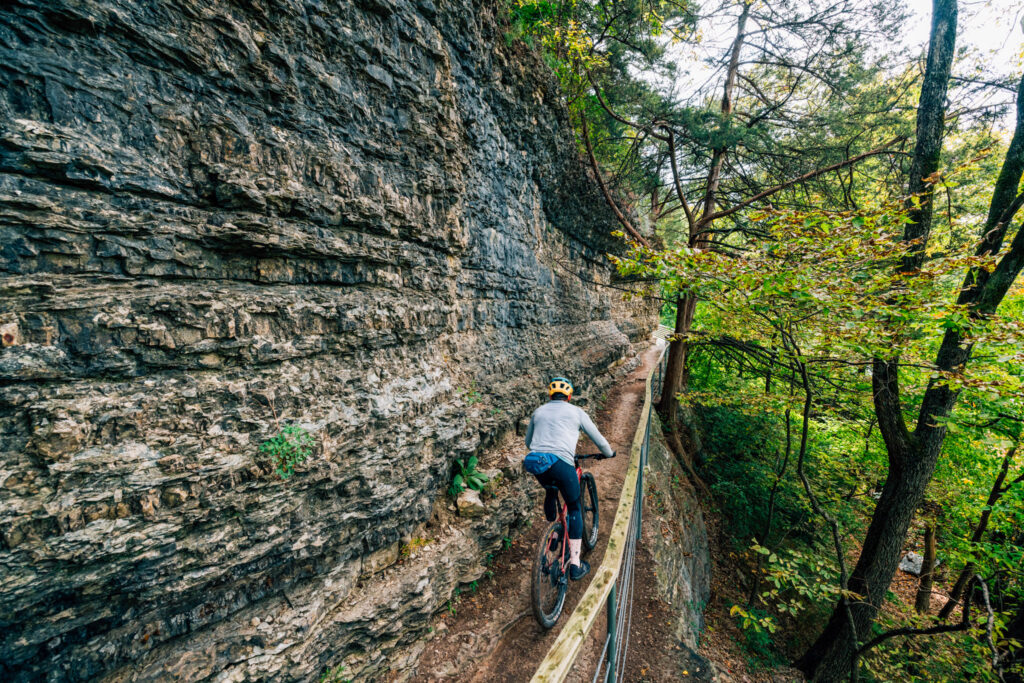
In southern Bella Vista, Blowing Springs offers natural-surface trails around wooded hillsides, rock ledges, and springs. The network also connects with the Back 40, giving hikers options for extending an outing.
Some routes pass along bluffs and include rocky terrain, so choose a route that matches your group’s comfort level. Check the map before setting out, especially if you want to keep the walk short. Hiking is permitted on the park’s shared trails.
Explore Blowing Springs trail information and maps.
The Back 40
A good choice for a longer woodland hike.
The Back 40 winds through ridges and hollows on Bella Vista’s east side. Its interconnected trails provide plenty of choices for hikers who enjoy a mix of climbs, descents, and rocky sections.
Lake Ann Trailhead is one place to begin. Plan a manageable loop or an out-and-back walk before you leave; the full outer loop is a substantial outing. Check the individual trails along your route and follow posted signs.
Explore Back 40 trail information and maps.
Little Sugar
A good choice for exploring Bella Vista’s hills west of U.S. 71.
Little Sugar opens up wooded hollows, bluffs, and routes near creeks and lakes. Hikers are welcome, and the interconnected network offers many ways to plan a walk. Some routes involve considerable climbing, so consider elevation as well as distance.
For a gentler introduction, consider Tweety Bird or Snowbird. The City of Bella Vista identifies these as relatively flat, wide trails suited to family outings.
Explore Little Sugar trail information and maps.
Before You Go
Bring water, wear shoes with good traction, and save a trail map before starting. Natural-surface trails can include loose rock, roots, steep sections, and slippery footing after rain.
Most of Bella Vista’s trails are shared with mountain bikes. The city’s etiquette guidance asks riders to yield to other trail users; everyone should stay alert and communicate when passing. Follow posted signs, respect closures, keep dogs leashed, and carry out litter and pet waste.
Read the City of Bella Vista’s trail etiquette guidance.
Where to Stay and Eat
Make time for more than one hike by staying in Bella Vista. Browse places to stay in Bella Vista and choose a vacation rental near the trails you want to explore. Ask your host about the route to the nearest trailhead if you hope to walk from the house.
For breakfast before your hike, lunch afterward, or groceries for a picnic, explore the restaurants and stores at Bella Vista Eats.